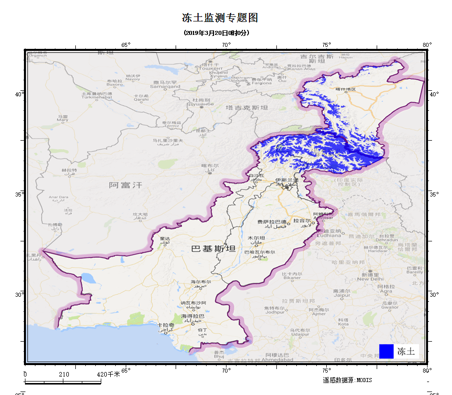
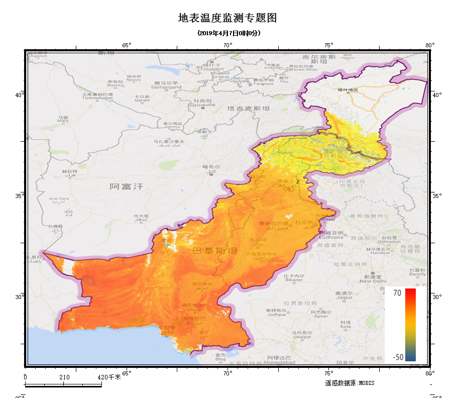
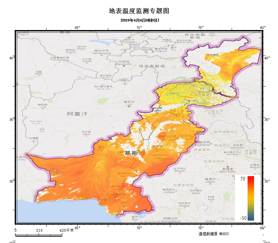
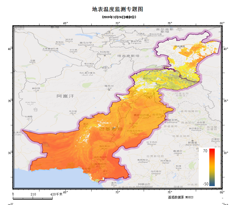
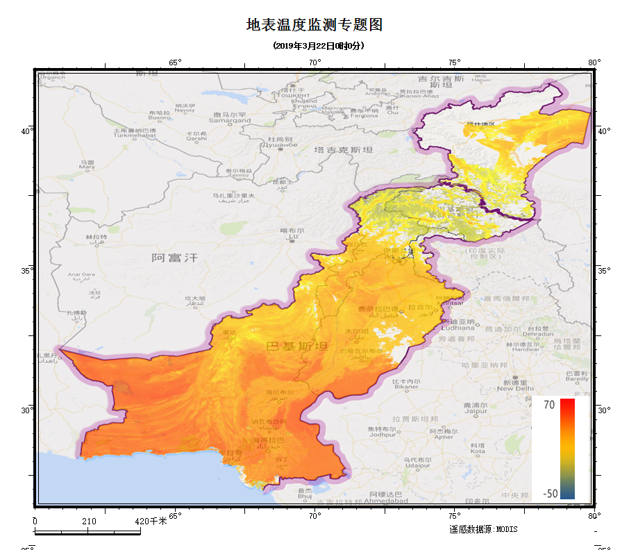
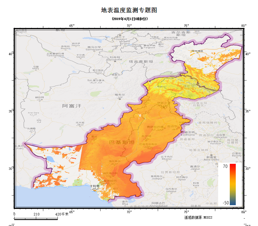
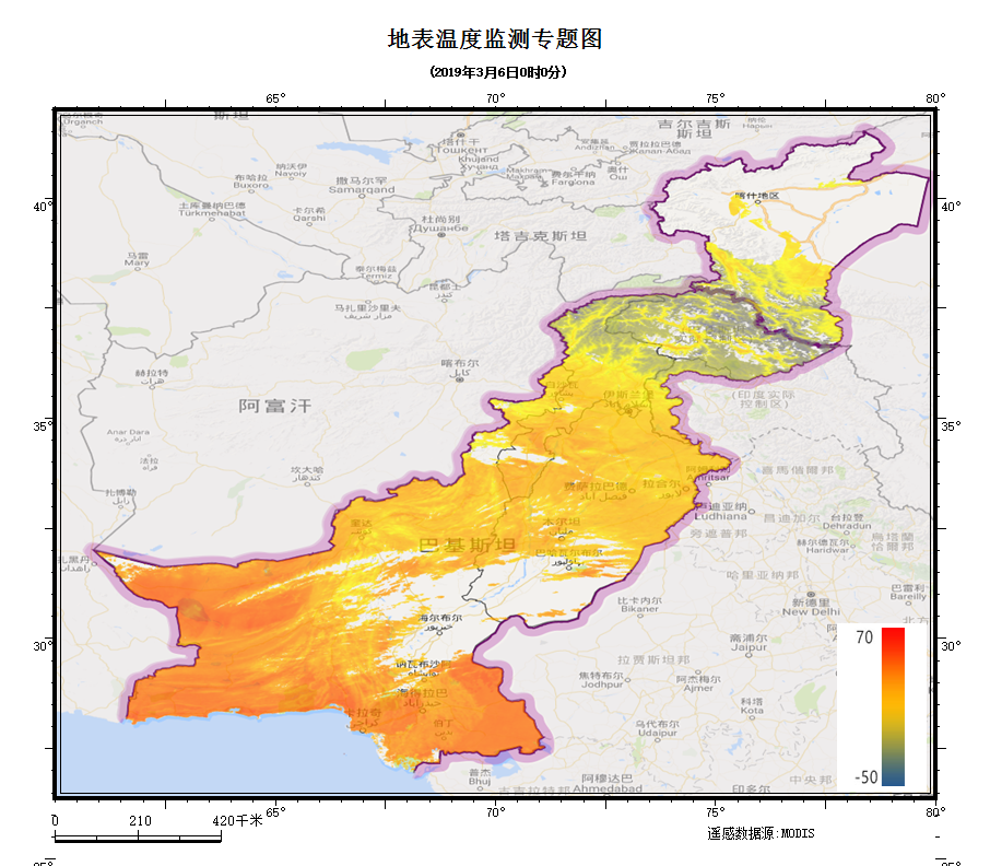
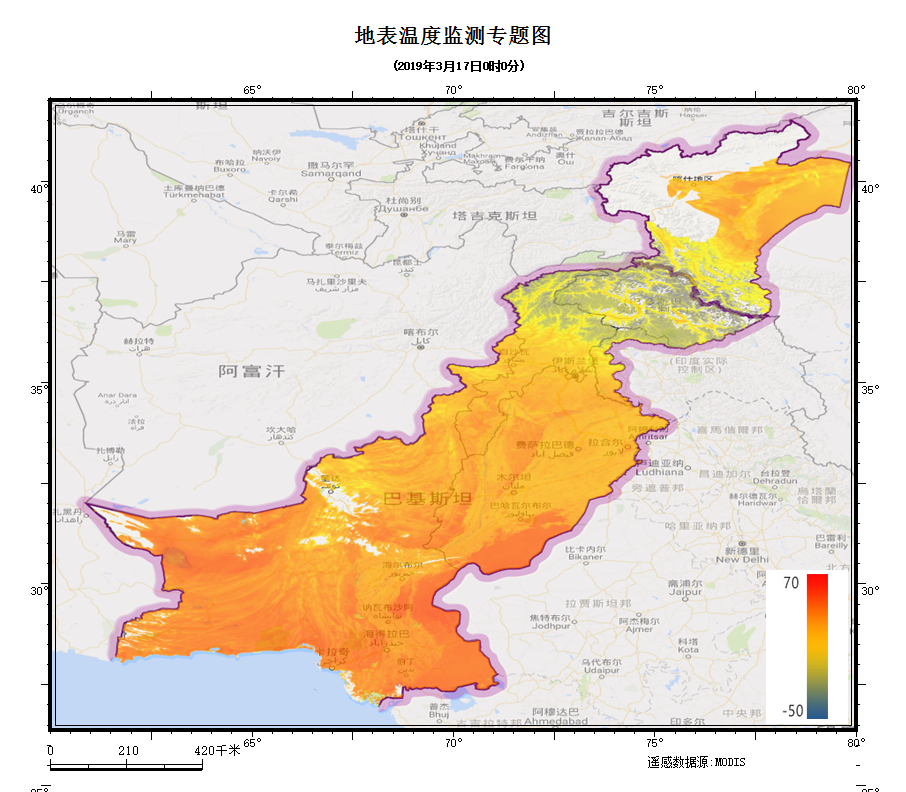
Explain
Based on the thermal infrared band of Landsat 8 satellite, this data set adopts the method of multi model integration and comparison to prepare the high-resolution surface temperature inversion data set in China Pakistan Economic Corridor since 2013, with a spatial resolution of 30m and a time resolution of 16 days.
Landsat 8 OLI/TIRS C1 Level-1 data products
Based on Landsat8 satellite thermal infrared band, using the method of multi model integration and comparison