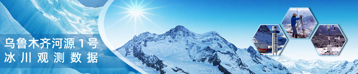
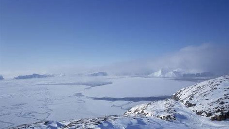
南极和北极大部分地区的温度很少会升到0℃以上。那里的冰冻美景则是由不同类型的冰构成的。
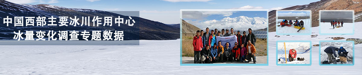
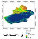
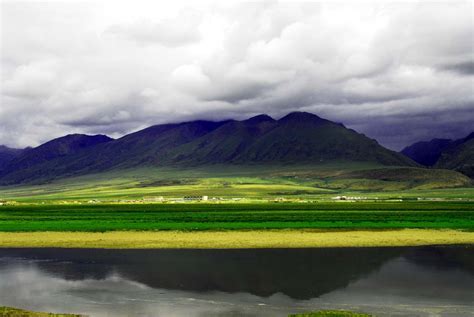
青藏高原是中国最大、世界海拔最高的高原,被称为“世界屋脊”、“第三极”。
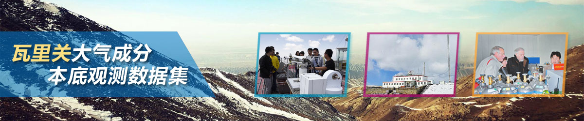
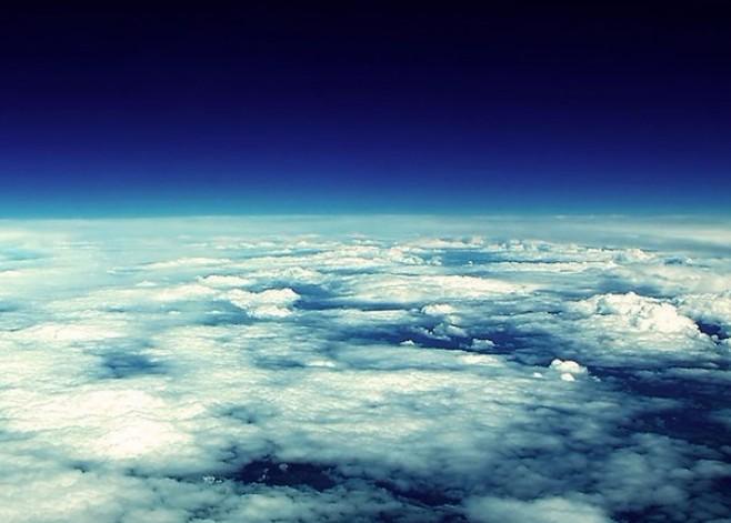
大气就是包围地球的空气。而天气,从现象上来讲,绝大部分是大气中水分变化的结果。
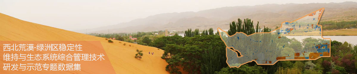
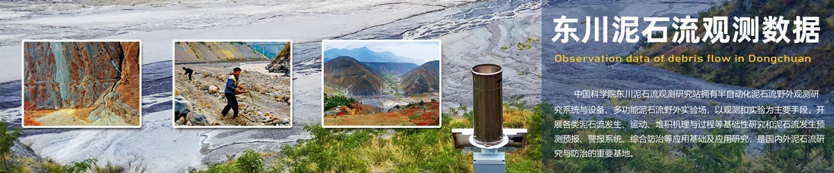
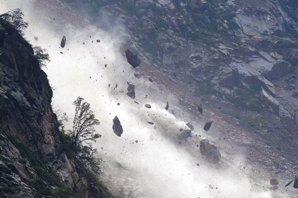
泥石流是指在山区或者其他沟谷深壑,地形险峻的地区,因为暴雨、暴雪或其他自然灾害引发的山体滑坡并携带有大量泥沙以及石块的特殊洪流。