据央视新闻报道,2025年12月10日15时20分在甘肃省临夏州永靖县盐锅峡镇黄茨村发生山体滑坡,截至13日18时,预估滑坡体宽390米、长722米、厚24米,方量677万方,滑移距离310米,滑体已趋于稳定。截至目前,此次滑坡已造成45户农户住宅被掩埋,台塬下耕地240亩以及部分基础设施损毁,初步统计已造成直接经济损失约4135万元,灾情等级为特大型,因险情发现、预警及时,群众及时转移,未造成人员伤亡。
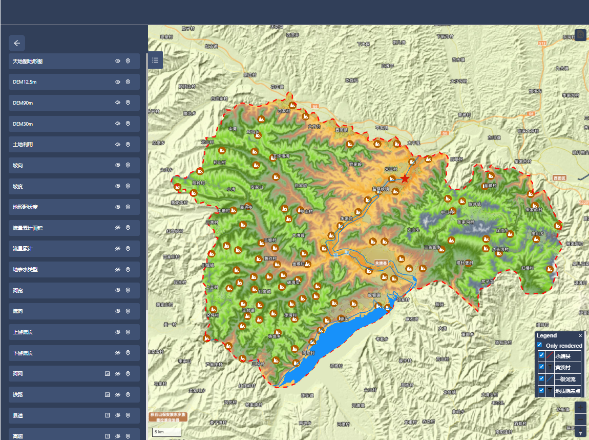
图1 可视化页面
国家冰川冻土沙漠科学数据中心(以下简称数据中心)根据灾情,收集、制备基础地理数据、卫星遥感数据、人口数据、地形等应急响应科学数据。截止目前已开放提供30个服务数据集,服务数据量约30GB。已发布“甘肃省临夏州永靖县盐锅峡镇山体滑坡灾害(20251210)科学数据应急响应服务”系统,系统提供数据的可视化展示、互操作以及数据下载功能。供相关应急、救援和研究部门使用。
后续数据中心将继续进一步收集、整理灾区各种数据资源并通过数据中心平台逐步发布,供相关应急、救援和研究部门使用。
系统及数据服务地址:http://www.ncdc.ac.cn/portal/emergency?eid=9ebfb9b6-b942-4dd1-8625-ec6ac27b8966&lang=zh
