According to the official determination of China Earthquake Networks Center, a magnitude 5.2 earthquake occurred at 3:17 on January 7, 2026, in Taxkorgan County, Kashgar Prefecture, Xinjiang. The epicenter was located at 37.58 degrees north latitude and 74.93 degrees east longitude, with a depth of 10 kilometers. The average elevation within a 5-kilometer radius of the epicenter is approximately 4,625 meters. There are no villages within a 20-kilometer radius of the epicenter, and no township settlements within a 100-kilometer radius. The epicenter is 34 kilometers away from Taxkorgan Tajik Autonomous County, 186 kilometers from Yengisar County, 196 kilometers from Akto County, 216 kilometers from Zepu County, 216 kilometers from Shufu County, 230 kilometers from Kashgar Prefecture, and 1,274 kilometers from Urumqi City. As of now, no reports of casualties or property losses have been received.
Visualization page
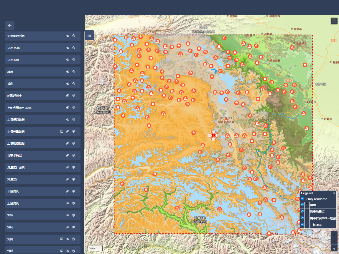
The National Croysphere Data Center (NCDC) collects and prepares basic geographic data, satellite remote sensing data, population data, topography, and other emergency response scientific data based on disaster situations. As of now, it has made available 23 service datasets, with a total service data volume of approximately 32GB. The "Scientific Data Emergency Response Service for the 5.2-magnitude Earthquake in Taxkorgan County, Kashgar Region, Xinjiang (20260107)" system has been released, providing functions such as visual display, interoperability, and data download of the data. It is intended for use by relevant emergency, rescue, and research departments.
The NCDC will continue to further collect and organize various data resources from the disaster area and gradually release them through the NCDC platform for use by relevant emergency response, rescue, and research departments.
System and data service address: http://www.ncdc.ac.cn/portal/emergency?eid=fb5c2803-411c-4e2f-a95f-3f210995b977&lang=zh
